Big South Fork: Laurel Fork Creek & Slave Falls
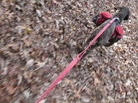
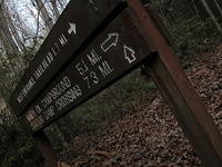
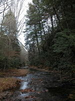
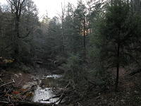
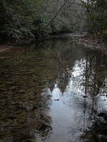
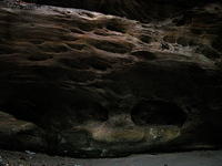
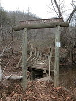
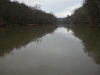
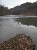
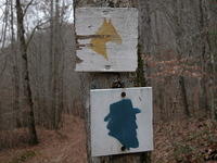
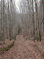
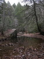
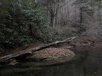
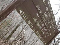
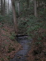
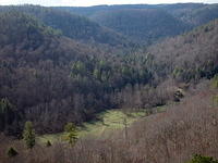
Nov 27-28: Right when you say, "What could go wrong now..." it hits. I was trailing down Laurel Fork on the final stretch. It was 7pm, pitch black in the valley, and Pixel was doing an excellent job keeping me on trail while we crossed Laurel Fork probably 30 times in that distance. I had a headlamp, the creek wasn't running high, and I was dry. Enter the beaver dam. You see evidence of beavers and their dams throughout the Big South Fork. Along many creek banks large trees stand half-decapitated, while others, having been felled by this mischievous critter, lay awkwardly and unorganized. But there's a plan. Beavers dam to the sound of running water by instinct. Their dams, especially in this narrow valley, are a dangerous jungle of flooded deadfall. You can only go around and avoid plunging through its porous banks. Thankfully the park flagged a reroute, but was tricky to follow at night and I found myself bushwhacking around a boggy, mashy mess. The beaver, a keystone species almost trapped into extinction, is protected by the park, so hikers can expect more of these dams. The beaver forms the only natural ponds and wetlands in Kentucky. Charit Creek Lodge, is a full-service, year-around backcountry lodge located where Charit and Station Camp Creeks intersect. The only way to access this former wild boar hunting camp is by foot, mountain bike, or horseback. The lodge's central structure was built in the 1810s. The name Charit is thought to honor Charity, a little girl who drowned here in the 1920s during a flood. Slave Falls is an immense rock house and waterfall that was once a hideout for runaway slaves. Itinerary: West Entrance Bandy Creek Trailhead - Laurel Fork Creek - up to Jack's Ridge - Black House Branch trail - Station Camp Crossing - Station Camp Creek - Charit Creek Overlook - Slave Falls - Needle Arch - Sawmill Trailhead - Indian Dome Rockhouse - Laurel Fork Creek - West Entrance Bandy Creek - 36 miles.
-
DSCN0380.jpg
-
DSCN0382.jpg
-
DSCN0384.jpg
-
DSCN0389.jpg
-
DSCN0402.jpg
-
DSCN0412.jpg
-
DSCN0415.jpg
-
DSCN0417.jpg
-
DSCN0420.jpg
-
DSCN0423.jpg
-
DSCN0426.jpg
-
DSCN0431.jpg
-
DSCN0455.jpg
-
DSCN0456.jpg
-
DSCN0467.jpg
-
DSCN0469.jpg
-
DSCN0475.jpg
-
DSCN0479.jpg
-
DSCN0488.jpg
-
DSCN0493.jpg
-
DSCN0502.jpg
-
DSCN0505.jpg
-
DSCN0510.jpg
-
DSCN0511.jpg
-
DSCN0518.jpg
-
DSCN0521.jpg
-
DSCN0525.jpg
-
DSCN0527.jpg
-
DSCN0528.jpg
-
DSCN0546.jpg