Sheltowee Trace
Daniel Boone and Big South Fork scenic trail index
Methodology
Over the years we've pursued some measure that reveals the character of 900+ miles of trail here. Often we talk about a trail's length or steepness with other dimensions gleaned from the base map. In this experiment we are creating zones at discreet locations along trail and estimating the character of that location.
Trails
Trails segments from various public lands have been joined (unsplit) to develop a comprehensive network.
Zones
Zones are 200-ft in diameter and spaced every 330 feet (1/16 of a mile) along each trail.
Zone type
Within each zone the dominate and minority land cover classes are determined. Four classifications are made:
- Built: highly built environment with little or no canopy. Not (woodland) scenic, but a nice sight if one is looking for amenities.
- Open: moderately forested with breaks created by fields, roads, wide trails, lawns, and rock outcroppings. Potential scenic conditions.
- Water: moderately forested with breaks created by bodies of water, such large streams, rivers, and lakes. High potential for scenic conditions.
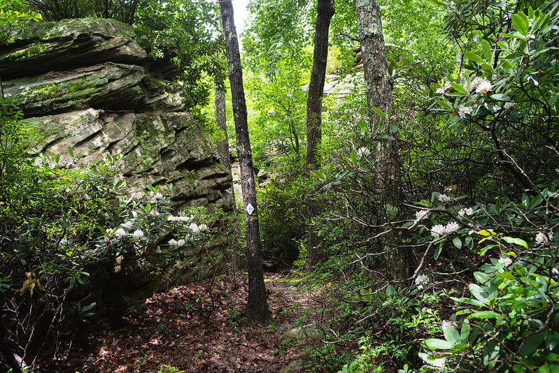
- Woodland: densely forested without classification of species. High potential for scenic conditions.
Zone relief
Within each zone, the elevation relief was calculated. The height of the zone shows the relative relief in the area. The highest zones are among cliffs while the lowest are ridge tops or valley bottoms.
Full-screen
Navigation keystrokes.
⇧ (shift) + ← or → rotates the map
⇧ (shift) + ↑ or
↓ tilts the map
The dropdown menu provides preset locations that popular destinations in the region.
Draft: August 7, 2019
Preliminary data sources include trail locations collected with GPS, NLCD 2016 Land Cover, USGS 3D Elevation Program.
Steep, open scenic conditions

Cliff, woodland scenic conditions