Maps
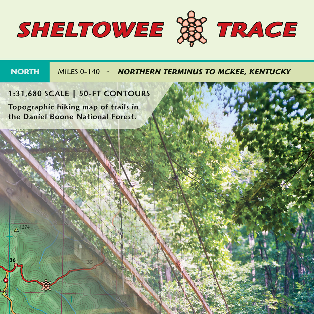
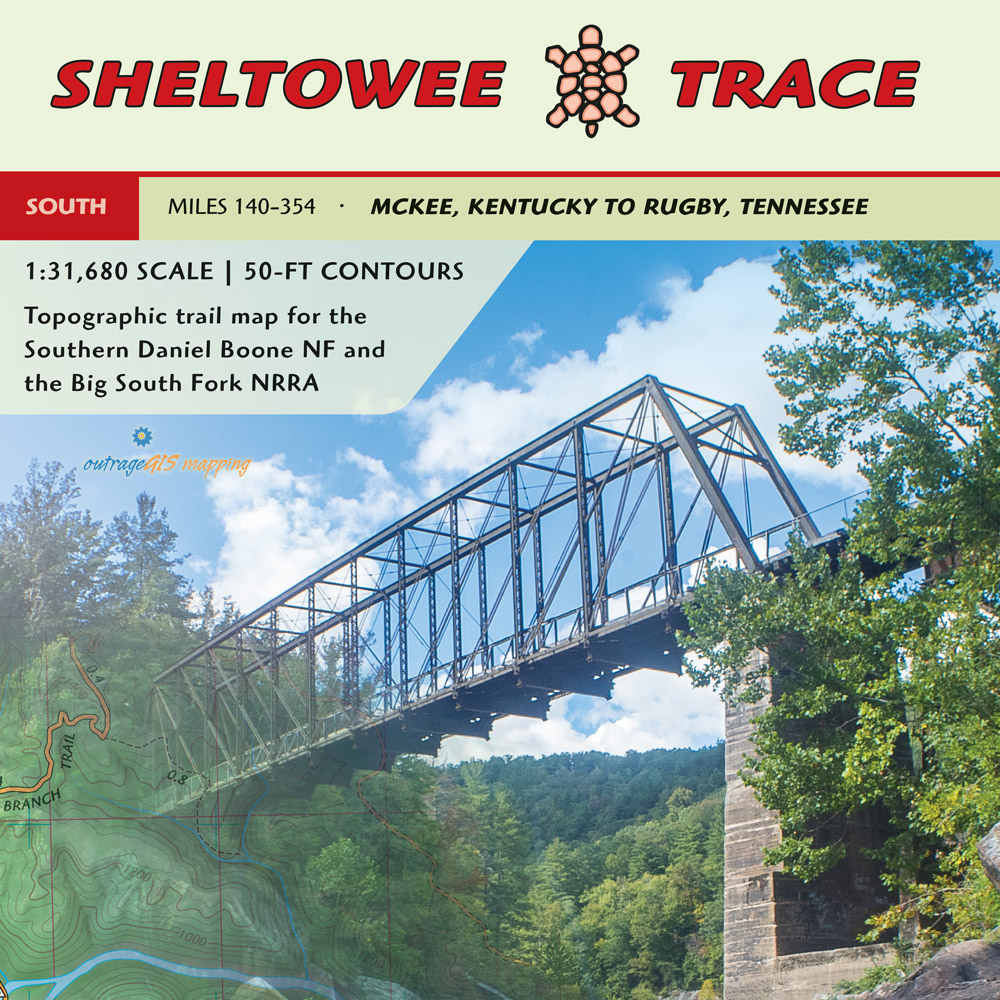
We offer trail maps and info for the Sheltowee Trace National Recreation Trail. Our current maps show the projected extension to Rugby, TN from Burnt Mill Bridge making a 354-mile trail. The website is a project by outrageGIS.com to help maintain a printed map for the trail. These maps show the north and south Sheltowee Trace on two publications, which are available for purchase with lamination.
Print maps
Interactive maps
History
Climbing between deep hemlock gorges and piney, craggy summits, the Sheltowee Trace is a 354-mile National Recreation Trail (2020 alignment with proposed extension) that spans the Daniel Boone National Forest and Big South Fork National River and Recreation Area in Kentucky and Tennessee. The name "Sheltowee" honors the history of Daniel Boone, who was captured by Shawnee Indians while making salt in an area close to the present-day trail. Chief Blackfish, his adopted Shawnee father, renamed him Sheltowee, which meant "Big Turtle."
The Trace was started by a US Forest Service landscape architect Verne Orndorf in the mid-1970s (listen to a 2005 oral history). He envisioned the trail for foot travel only, gaining inspiration from local Sierra Club members who wanted a long-distance footpath in Kentucky. Today, the Trace has an active non-profit, the Sheltowe Trace Association (STA), that actively helps build new trail and maintain existing trail for the public good.
Archive
SheltoweeTrace.com was created in 2004 with the goal to help trail users find good information and maps and to promote the preservation of the trail as a long-distance path. With the evolution of the internet, the main attraction to this site, the forum, couldn't keep up with social media and has been archived. You can view posts and photos from 2004-2019, but cannot post.
Interested in reading thru hike trail logs? Our members have contributed a lot of awesome info to the forum that can help new trail users find a good hikes. Visitors can explore the history and growth of the Trace, both digitally and on the ground.
Visit the Archive
Weather on the Trace
Select one of the below locations for the hourly forecast. We will query the National Weather Service and the results will be returned below.
Enable geolocation on the map and the hourly forecast for your location will be shown below.
Weather graphics
Display the current radar and satellite images for the areas. The Daniel Boone NF and Big South Fork NRRA outlines are shown.